9.7 km | 12.4 km-effort
LE VAST-LA PERNELLE
clrunavot
User
Length
5.6 km
Max alt
121 m
Uphill gradient
125 m
Km-Effort
7.1 km
Min alt
28 m
Downhill gradient
69 m
Boucle
No
Creation date :
2023-11-05 14:49:53.625
Updated on :
2023-11-05 14:50:35.423
FREE GPS app for hiking
About
Trail of 5.6 km to be discovered at Normandy, Manche, Le Vast. This trail is proposed by clrunavot.
Positioning
Country:
France
Region :
Normandy
Department/Province :
Manche
Municipality :
Le Vast
Location:
Unknown
Start:(Dec)
Start:(UTM)
618745 ; 5497816 (30U) N.
Comments
Trails nearby
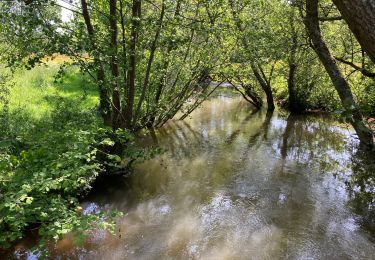
Le long de la vallée de la Sairre
Walking
Medium
Le Vast,
Normandy,
Manche,
France
10 km | 12.6 km-effort
2h 40min
Yes
Rando des châtaignes - Teurtheville-Bocage
Mountain bike
Difficult
Teurthéville-Bocage,
Normandy,
Manche,
France
30 km | 37 km-effort
2h 30min
Yes
Rando des châtaignes 2013 - Teurthéville Bocage
Mountain bike
Medium
Teurthéville-Bocage,
Normandy,
Manche,
France
38 km | 47 km-effort
2h 30min
Yes
Petite balade dans le val de Saire - Théville
Mountain bike
Medium
Théville,
Normandy,
Manche,
France
31 km | 37 km-effort
4h 49min
Yes
Les balcons du Val de Saire - Quettehou
Mountain bike
Medium
Quettehou,
Normandy,
Manche,
France
27 km | 34 km-effort
4h 0min
Yes